About Forest District
The Wymiarki Forest District is one of the twenty forest districts of the Regional Directorate of State Forests in Zielona Góra It is located in the South-West part of Lubuskie Province.
Forest resources
The main forest-forming tree species in the Wymiarki Forest District is Scots pine (Pinus sylvestris). Other species cover small areas of land.
Silviculture
The planning of silviculture activities depends on the species habitat of the forest and its commercial forest stand type.
Forest protection
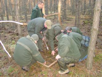
Forest protection is one of the fundamental areas of economic activity in forestry. It is to employ theoretical and practical knowledge to protect forests from detriment.
Forest use
The current reserves of wood in the Polish forests are estimated at 1.5 milliard m3. In the previous years, an average of 70 000 m3 of timber yearly has been harvested in the Wymiarki Forest District. Harvest cutting constitutes 40% of the amount. The rest comes from silvicultural activities which condition the correct growth and further development of forest stands. Through such use, abundance of our forests is constantly increasing.

Forest management
Forest management in State Forests is based on the Forest Management Plans created for the Forest District once per 10 years. They are prepared for the State Forests by specialised units, among others by The Bureau for Forest Management and Geodesy (Biuro Urządzania Lasu i Geodezji Leśnej, BULiGL). The Forest Management Plans are approved by Environment Minister after consultations with society.
Hunting
Management of game is yet another type of activity in the Wymiarki Forest District. There are four hunting zones in the Forest District. Two of those, with the combined area of 22,500 ha constitute a Game Breeding Centre. The two remaining ones, with the combined area of 14,000 ha are hired by "Koło Łowieckie Cietrzew" hunting association based in Żary.
 Asset Publisher
 Asset Publisher
Back
FIRE HAZARD
FIRE HAZARD
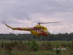 Gaszenie przy użyciu helikoptera (foto K.Polus)
 Oznaczenie dróg p-poż (foto K.Polus)
 Podczas gaszenia lasu (foto K.Polus)
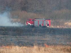 Gaszenie podpalonych nieużytków. (foto K.Polus)
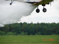 Akcja samolotowa gaszenia (foto K.Polus)
 Efekt pożaru (foto K.Polus)
 Wieża obserwacyjna (foto K.Polus)
 Spalony młodnik (foto K.Polus)
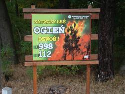 Tablica ostrzegawcza (foto K.Polus)
The forests of the Forest District Wymiarki are classified as belonging to the I (highest) category of the fire hazard.
Fire hazard occurs, when conditions exist for a possible ignition of uncontrolled fire, which would require an organised action to put out.


